On this page
- What do Bali drone no-fly zones actually cover?
- Is there a fixed distance from Ngurah Rai?
- What about helipads?
- What are prohibited and restricted areas?
- Can events restrict drone flights?
- How do you check before flying?
- What do drone users ask about specific places in Bali?
- Which sources support this page?
- How do I reach the desk?
By Film Permit Bali Editorial Desk
Bali drone no-fly zones are not one mapped circle. Under PM 37 of 2020, flights need approval inside an airport's flight safety zone (KKOP), in controlled airspace, above 120 metres, and within 3 nautical miles of a helipad outside KKOP. Prohibited and restricted areas have their own authority, and notices or event requests can restrict flying temporarily.
What do Bali drone no-fly zones actually cover?
Most of them are approval zones. The phrase "no-fly zone" suggests a hard line on a map, yet the regulation mostly describes places where you must get someone's agreement first. Here is what the text sets out:
| Where | What applies | Whose decision |
|---|---|---|
| Uncontrolled airspace, ground to 400 feet (120 metres) | No Director General approval needed under PM 37 | None under this row, though the rows below may still apply |
| Uncontrolled airspace above 400 feet | Approval required | Director General |
| Controlled airspace, at any height | Approval required | Director General |
| Inside an airport's KKOP | Approval required; limits set per airport | Aviation authority |
| Within 3 nautical miles of a helipad outside KKOP | Approval required | Aviation authority |
| Prohibited or restricted area | Approval from the authority for that area, as published in the Indonesian AIP | That area's authority |
| Within 500 metres of the outer boundary of such an area | Drones with cameras may not operate | Fixed rule in PM 37 |
| Area covered by a NOTAM | Flying barred without agreement from air traffic control or the Directorate General | ATC or Directorate General |
The text is in PM 37 of 2020 and, for notices, Part 107. None of this exempts a small drone. The registration floor is a separate question, and airspace rules still apply to light drones. Whether a visitor may fly at all for leisure is unsettled, and we treat that on the page asking can tourists fly drones in Bali. Drone approvals also sit apart from Indonesia's national film permit.
Is there a fixed distance from Ngurah Rai?
Not one you can quote as law. PM 37 requires approval inside an airport's KKOP, and KKOP limits are set per airport, with no radius given in the regulation's text. Ngurah Rai, in Tuban in Badung regency and coded DPS, according to Wikipedia, is the airport at the centre of this question. We know of no official map with a drawn boundary for it.
The kilometre figures in circulation come from elsewhere:
- Drone Traveller relays a reader's reply from the ministry that named 15 km as a minimum distance from airports, and adds that the Denpasar control zone reaches beyond that. The figure does not appear in the regulation.
- UAV Coach lists 15 km from airports, along with 150 metres and 7 kg, under a 2023 title. Its 150 metres is out of step with PM 37's 120 metres, so read its other figures with care too.
- The operator SNXP Studio gives no number. Its warning is broader: large parts of the south can need extra aviation approvals because of Ngurah Rai.
The sensible reading is that a distance from a blog cannot prove you are clear. Equally, being further than 15 km from the runway does not put you outside controlled airspace or away from a helipad. For the Bali drone height limit, use 120 metres as your ceiling in uncontrolled airspace and treat any higher number in an older guide as dated.
What about helipads?
They carry their own trigger, and it is easy to miss. PM 37 requires approval within 3 nautical miles, or about 5.6 kilometres, of a helipad located outside an airport's KKOP. Unlike KKOP, this is a firm distance, and it can apply far from any airport.
The difficulty is knowing the helipad is there. Do not rely on a tourist map to show one. Ask your location manager and your drone operator whether one lies within that distance before you settle on a take-off point.
What are prohibited and restricted areas?
They are areas published as such in the Indonesian AIP, the official aviation publication, and PM 37 hands the decision to the authority for each area. There is also a buffer: drones with cameras may not operate within 500 metres of the outer boundary of a prohibited or restricted area. For a filming drone, that 500 metres works as a real exclusion, because nearly all of them carry a camera.
Which Bali sites fall in those categories is a question only the AIP can answer, so none are listed here. Ask an operator with access to it, or the aviation authority.
Can events restrict drone flights?
They can. In October 2023, Bali's provincial government asked residents not to fly drones during the AIS Forum summit, as part of a police security operation, according to a notice on the Riau Islands government portal quoting Bali's regional secretary. Treat that as one example.
Part 107's NOTAM rule covers the formal version of this: a notice can bar drones from an area until air traffic control or the Directorate General says otherwise. Nyepi is a different kind of closure. Love Bali says the airport itself shuts for the day and people keep indoors for 24 hours, so a flight is out of the question whatever the airspace says.
How do you check before flying?
Work through these in order for each location. Any "Bali drone map" or airspace map app is a starting aid only, since KKOP limits are set per airport and an app is not the regulation.
- Fix the take-off point and planned maximum height. Above 120 metres, Part 107 sets an operating limit while PM 37 describes approval, so do not plan it without a written answer from the Director General.
- Ask whether the point sits in controlled airspace or a KKOP. For Ngurah Rai, treat this as a question for the aviation authority.
- Ask about helipads within 3 nautical miles.
- Check for prohibited or restricted areas in the AIP, plus the 500 metre buffer.
- Check for NOTAMs close to the flight date, and for summits, state visits or other large events.
- Check the calendar for Nyepi.
- Get the land owner's or site manager's agreement. That is separate from aviation approval.
A yes at steps 1 to 3 means an approval request, and PM 37 wants that filed at least 14 working days ahead of the flight. At step 4, a prohibited or restricted area needs approval from that area's authority, and inside the 500 metre buffer a camera drone may not operate. This check belongs in pre-production and not on the morning of the shoot. One take-off point can also trip several rows at once, for example a rooftop in controlled airspace with a helipad nearby, so ask whether a single approval covers them all.
For the rules behind this list, see our page on drone rules in Bali. A paid production should also read the guide to commercial drone filming in Bali, which covers pilots and how early to file.
What do drone users ask about specific places in Bali?
Can I fly a drone in Kuta?
Do not assume so. No rule we know of names Kuta, and Ngurah Rai Airport is close by at Tuban. Whether your exact spot needs aviation approval is a question for the aviation authority, and the land owner or manager has a say as well.
What is KKOP in Indonesia?
It is an airport's flight safety zone. PM 37 requires approval for drone flights inside it. Limits are set airport by airport, so the abbreviation tells you a rule applies without telling you where the edge lies.
Can I fly a drone in Canggu?
There is no published answer for Canggu by name. Guessing from distance will not settle it, because no official radius can be quoted. Get the position confirmed for your take-off point and ask about helipads nearby before you fly.
Is southern Bali a no fly zone?
Not as a blanket rule in the text of PM 37. The operator SNXP Studio says a good deal of the south can fall under extra aviation approvals tied to Ngurah Rai. That points to approvals and not to an outright ban, but you must check your location.
Can I fly a drone near Uluwatu?
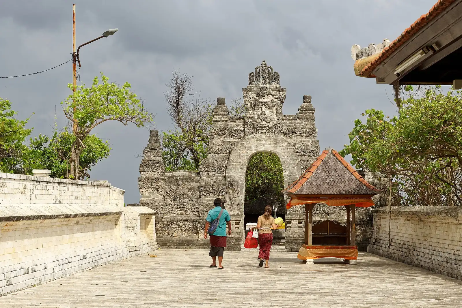
The temple's managing body publishes no drone rules on its main page, so ask it directly. The aviation question is separate: Uluwatu is in southern Bali, so check whether your point falls in an approval zone before you plan the shot.
Which sources support this page?
- Transport Ministry Regulation PM 37 of 2020 (BPK legal database)
- Transport Ministry Regulation 63 of 2021, Part 107 (BPK legal database)
- Wikipedia: Ngurah Rai International Airport
- Drone Traveller: drone laws in Indonesia
- UAV Coach: drone laws in Indonesia
- SNXP Studio: drone rules in Bali
- Riau Islands government portal: Bali drone request during the AIS Forum summit
- Love Bali: Nyepi, Day of Silence
How do I reach the desk?
Send the desk your location, take-off point if known, altitude and date. It can explain how these zones apply in general, but it cannot clear airspace or promise an approval. A request can lead to paid work, so we have an interest in it, which the about page describes. Nothing binds until a written offer states the fee and the company you would contract with. WhatsApp 6281139414563 or bd@juaraholding.com.
Send the desk your dates, crew size, locations, and drone plans. The desk replies in writing.
Ask the desk on WhatsApp bd@juaraholding.com